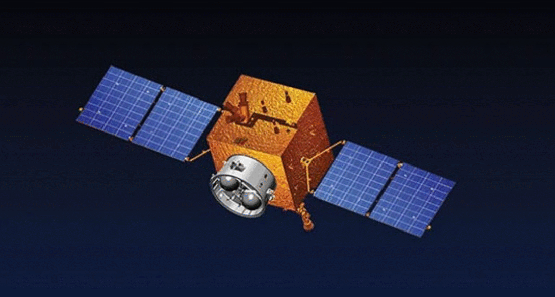
In a landmark advancement for Pakistan’s space program, an advanced remote sensing satellite was launched from China’s Xichang Satellite Launch Centre on Thursday morning. The launch occurred at 7:38am Pakistan Standard Time and was witnessed live by officials of the Space and Upper Atmosphere Research Commission (SUPARCO).
The satellite carries state-of-the-art hyperspectral and electro-optical sensors, placing Pakistan at the forefront of remote sensing in the region. Designed for real-time data acquisition, it will serve a diverse range of national interests — from disaster management and climate surveillance to agriculture monitoring and urban development planning.
“This mission is a milestone in our technological roadmap,” said the Director General of SUPARCO. “The data acquired will be crucial for anticipating floods, mapping drought-affected regions, and overseeing agricultural productivity — all vital for Pakistan’s climate resilience.”
A key application of this satellite will be monitoring ongoing and future CPEC projects, providing oversight through consistent imagery and analysis. It will also enable better decision-making in emergency response scenarios, where timing and geographic accuracy are critical.
This launch builds on the experience Pakistan gained from earlier missions. Notably, the 2018 launch of PRSS-1 and PakTES-1A marked the country’s entry into remote sensing. The subsequent deployment of the EO-1 electro-optical satellite provided valuable insights into terrain mapping and land-use planning.
With this latest deployment, Pakistan takes a decisive step toward building a self-reliant geospatial data infrastructure, empowering both civil and strategic sectors.